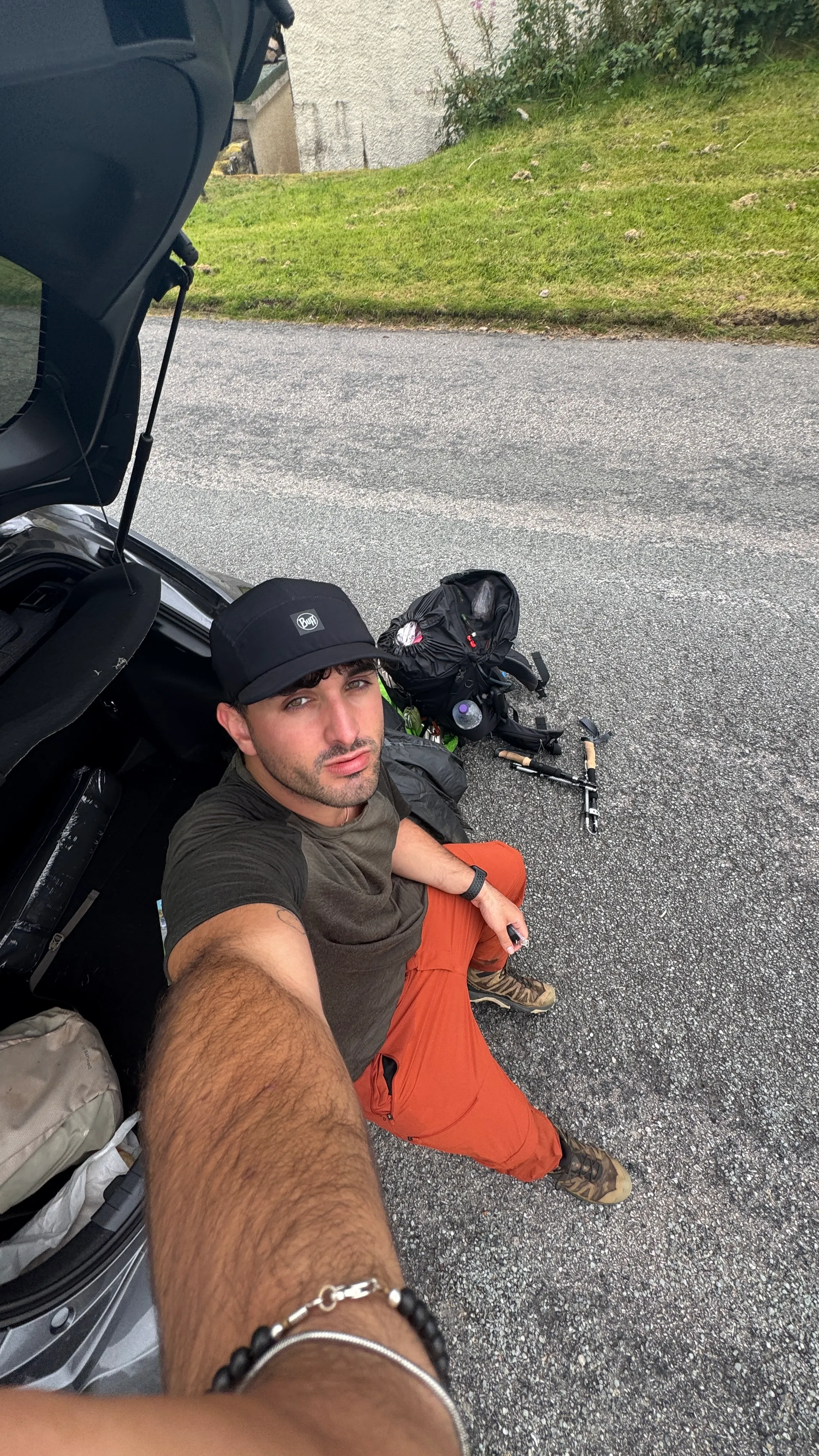
Skye Trail
Solo hiking the 128 Km, 4.000m+ route across Scotland most impressive Isle
57.686584° N, 6.328148° W · Isle of Skye, Scotland
128 km · 4,000 m+ · Rubha Hunish → Broadford · August 2025
Charting the Route
Choosing an “unofficial, challenging and mostly unmkarked” route as my first solo multi-day hike was probably not the best idea, but in hindsight, it was one of the best experiences in my life so far.
First night: Rubha Hunish Bothy
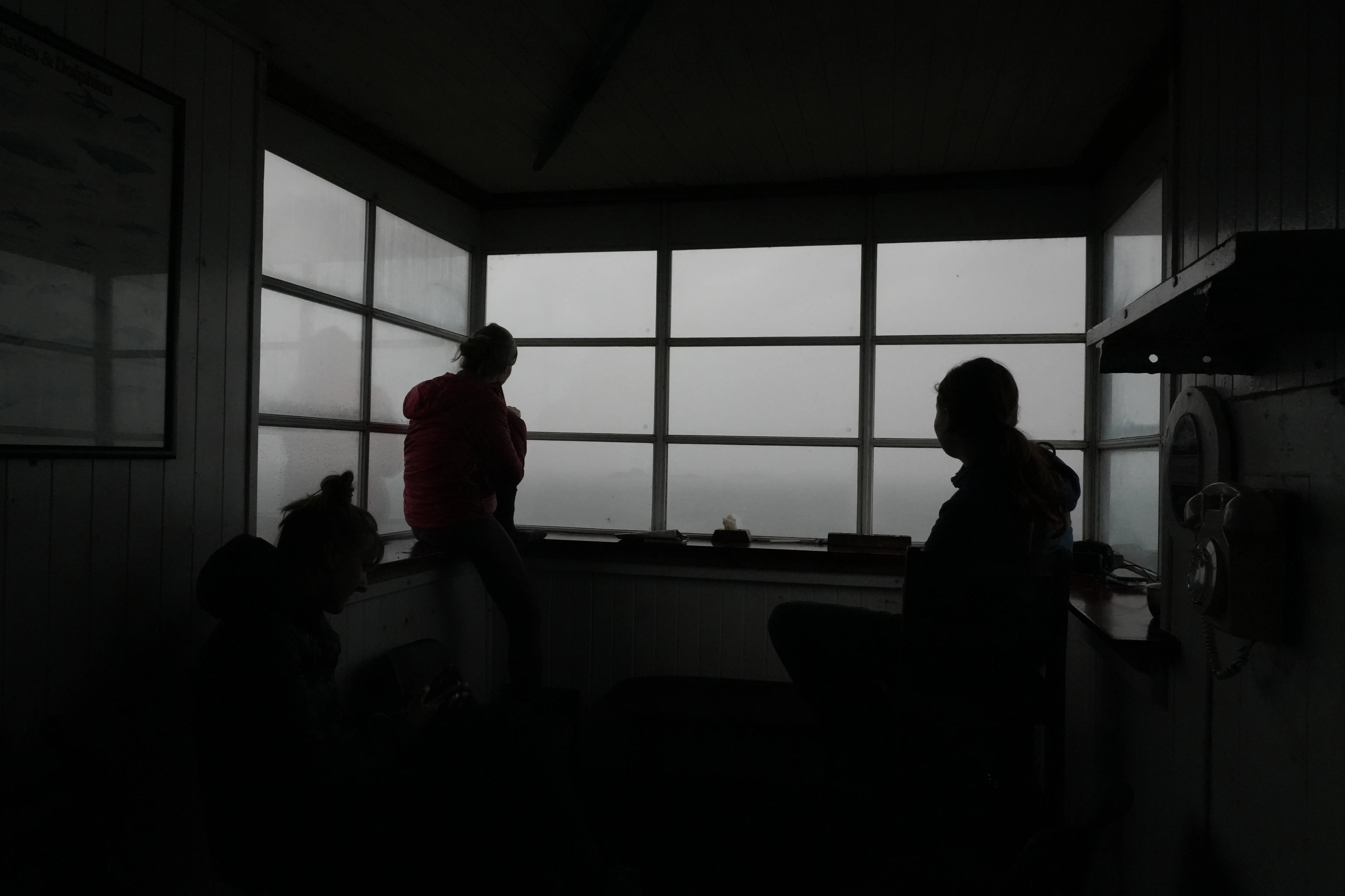
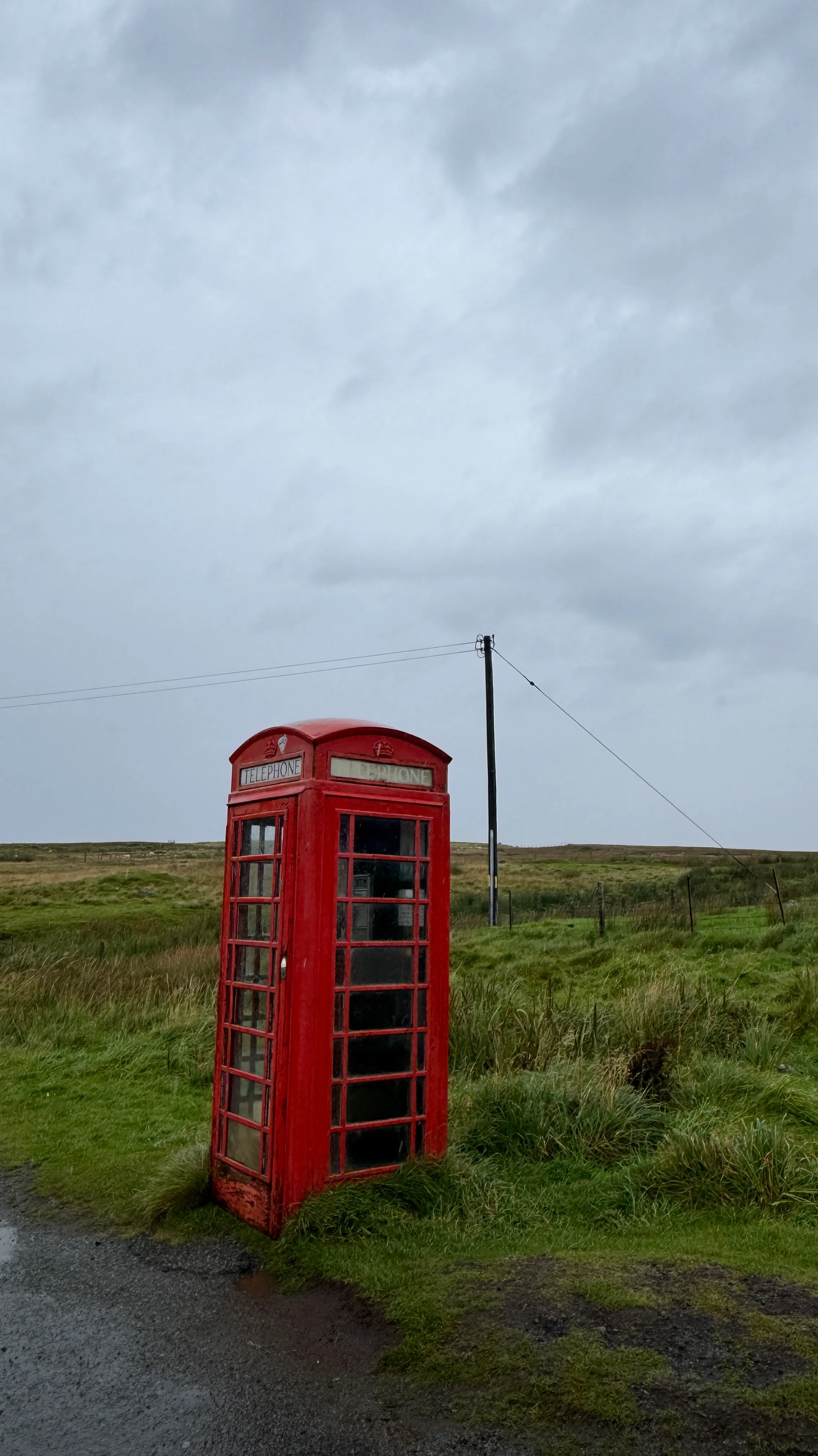
Anticipation. When arriving at the bothy, three hikers finishing their hike that day (walked from South to North) tell you about their experience. Oh, the smell.
The red phone box marks the Northern start of the Skye Trail, an unofficial, mostly unmarked route through the largest island of the Scottish Inner Hebrides.
Alone on the headland, on the topmost corner of the Isle, the bothy has watched over this stretch of coast longer than anyone currently inside it has been alive.
To the Quiraing: Walk you fatty!
With spirits high, the Ridge starts to dominate the skyline from here on: Already on your first day south, it gets a little less like a backdrop and a little more like a reality.
Everyone photographs the Quiraing from the same handful of angles for a reason: from almost any direction, it doesn’t look like it belongs on this island, or maybe this planet.
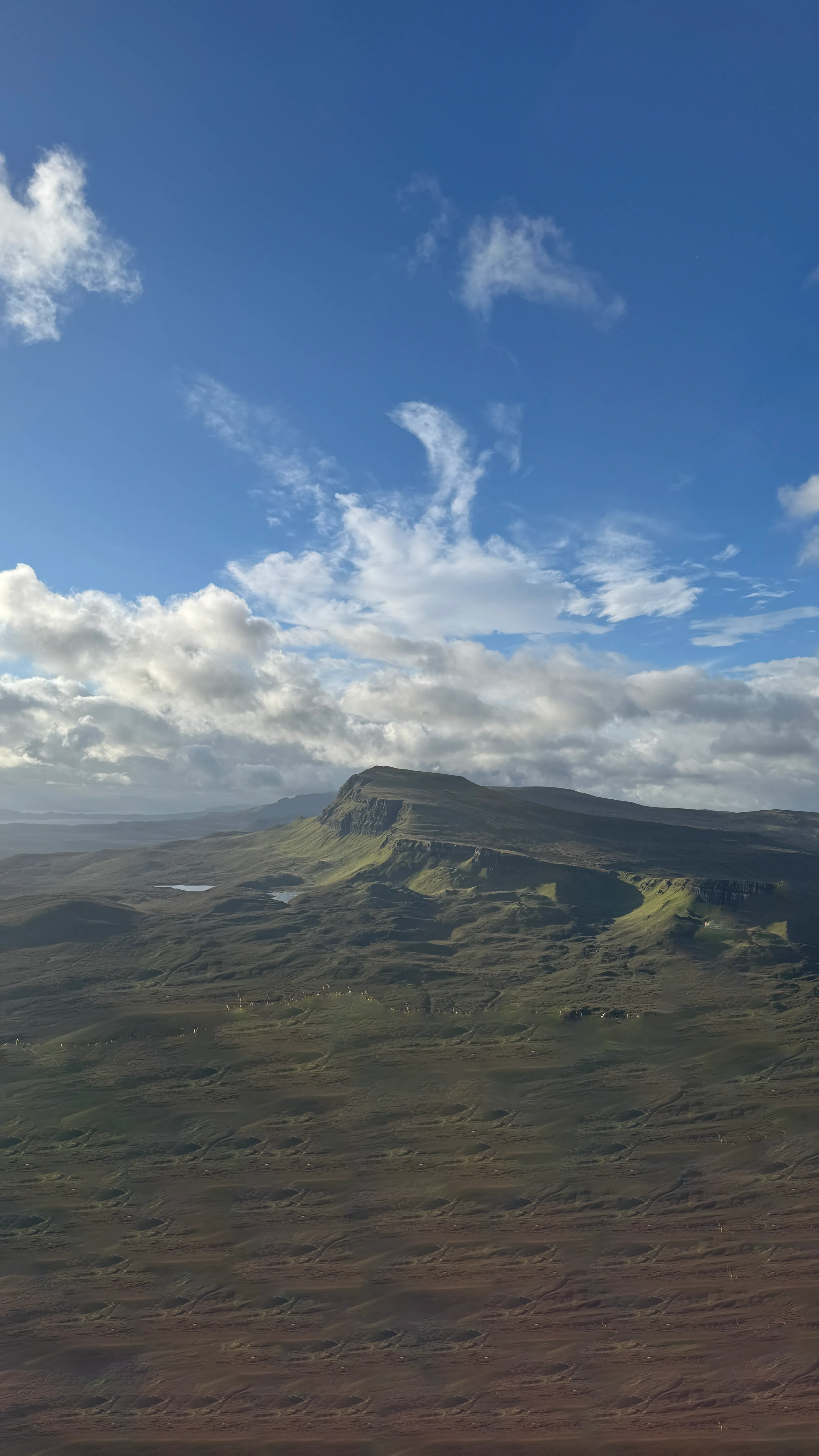
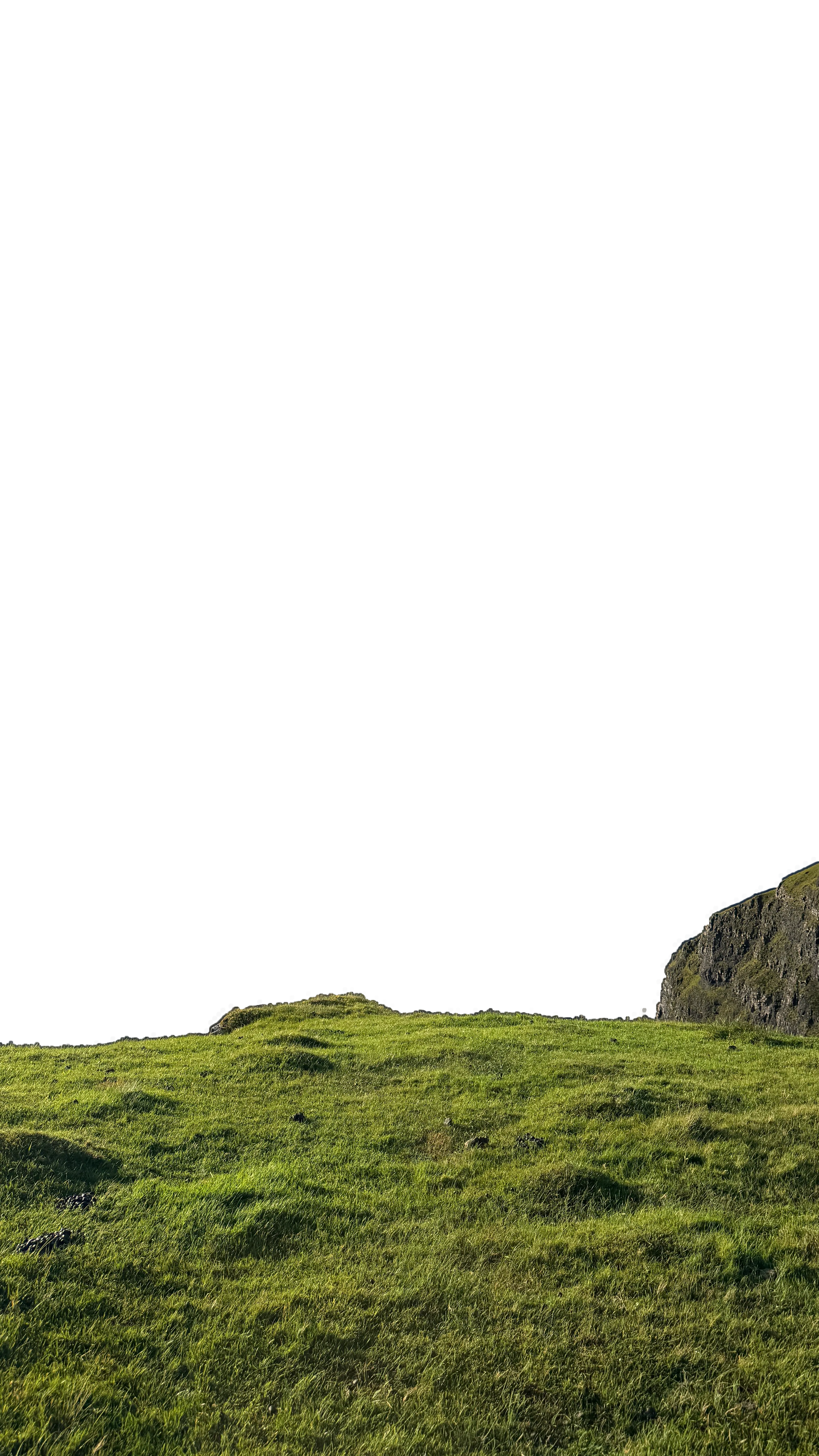
The Trotternish Ridge
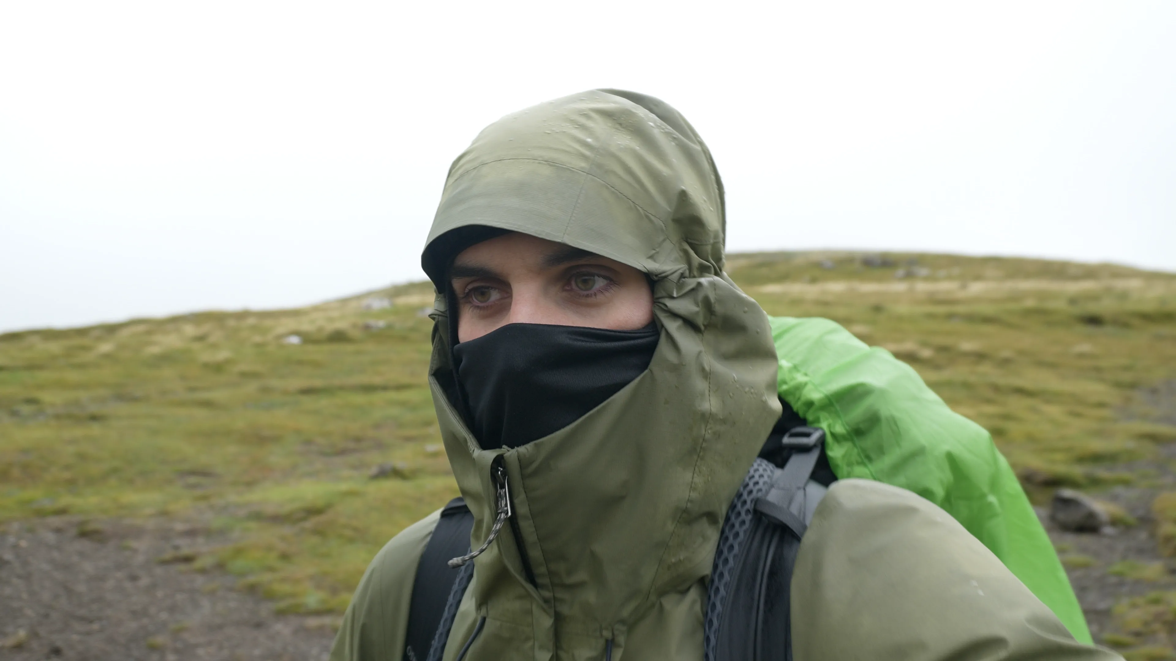
Day 2 of the Trail is by far its more demanding (and dangerous). Surrounded by rain, strong winds and fog, following the mostly unmarked path along the ridge is the only way to not get lost.
Due to conditions, it’s impossible to set up tent. Pushing through the end of the Ridge is the only way to stay alive.
Ten minutes later the same stretch of ridge that swallowed the view whole starts giving it back, one gap in the cloud at a time.
Portree
South to Sligachan
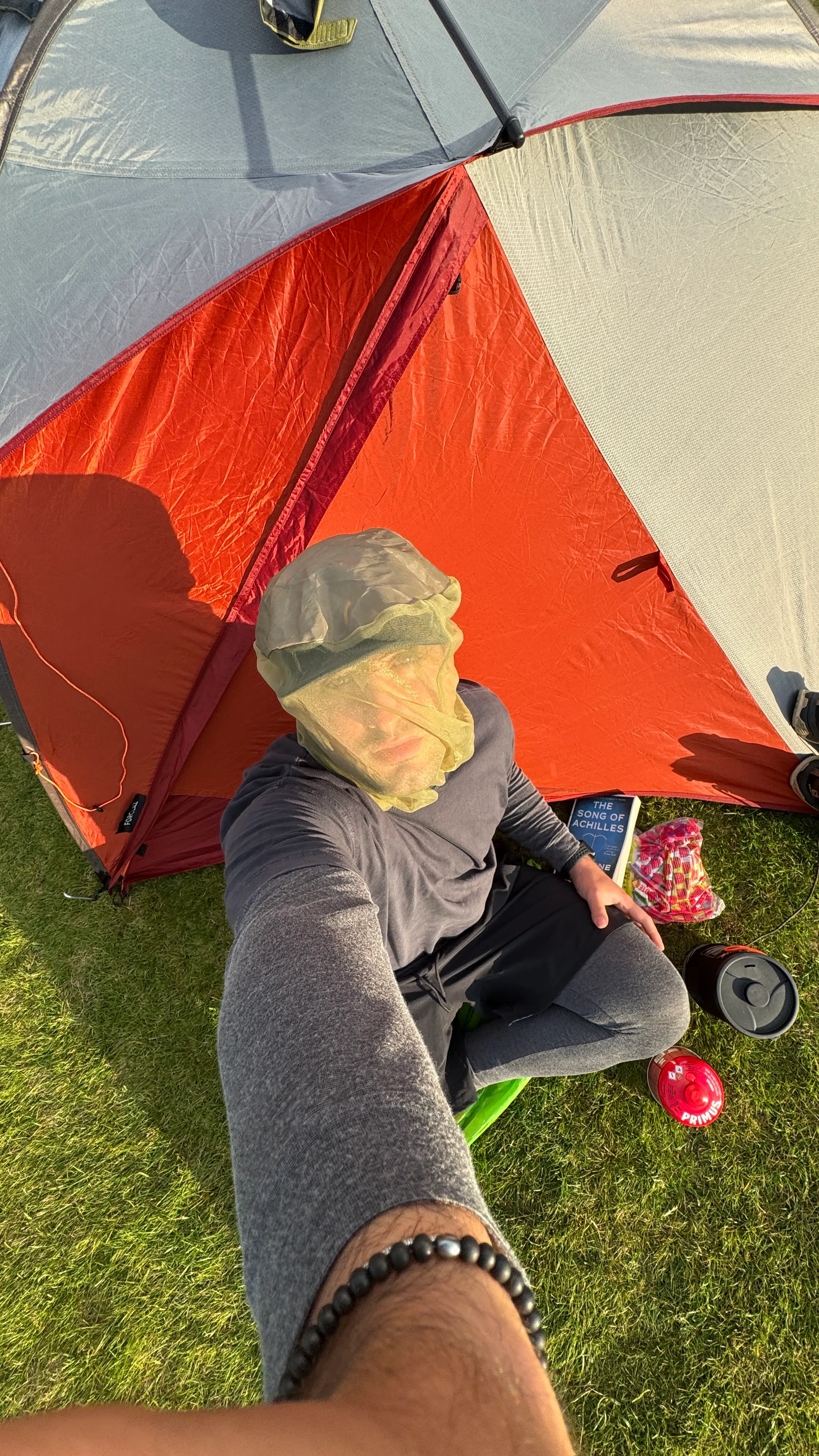
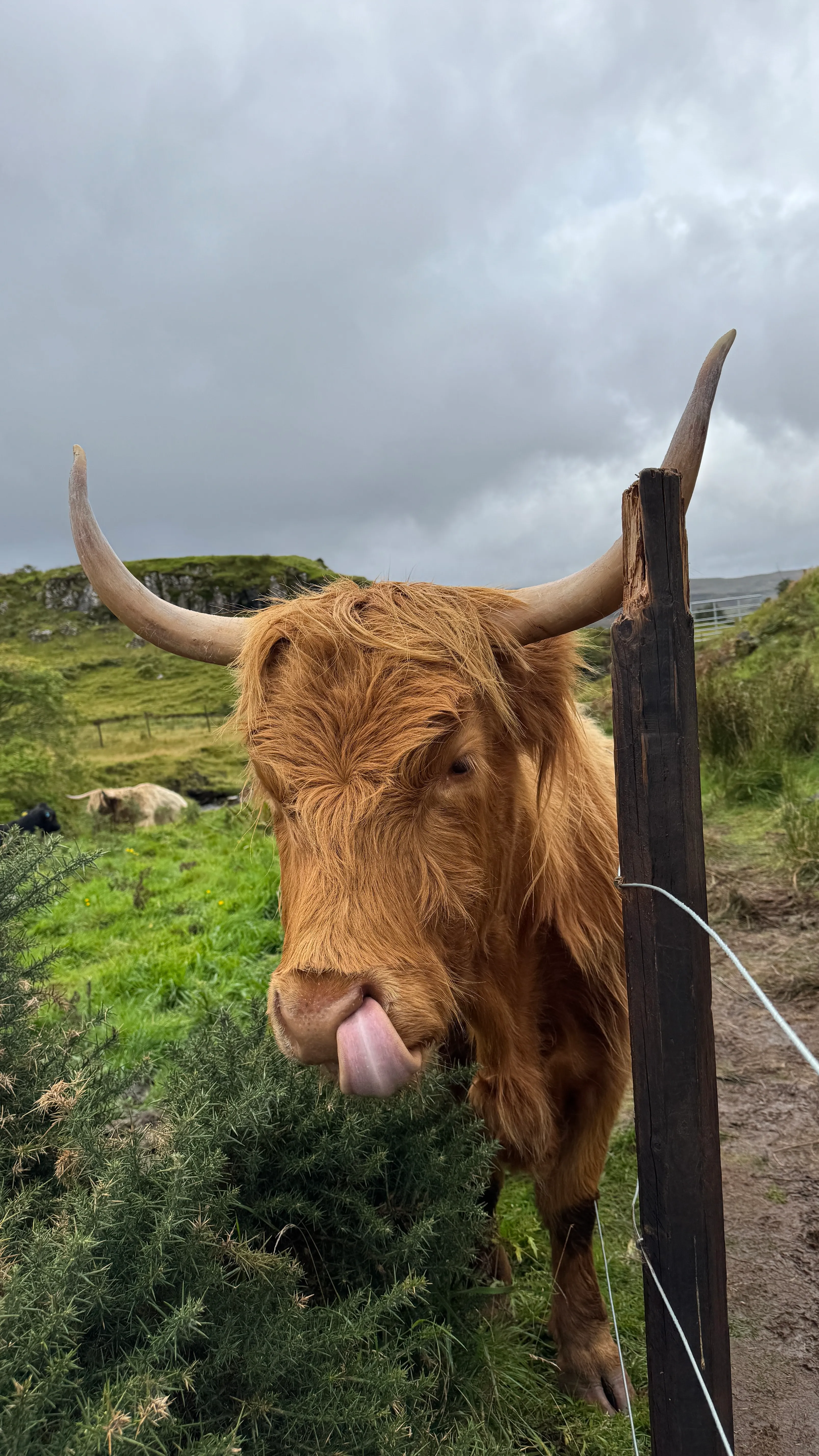
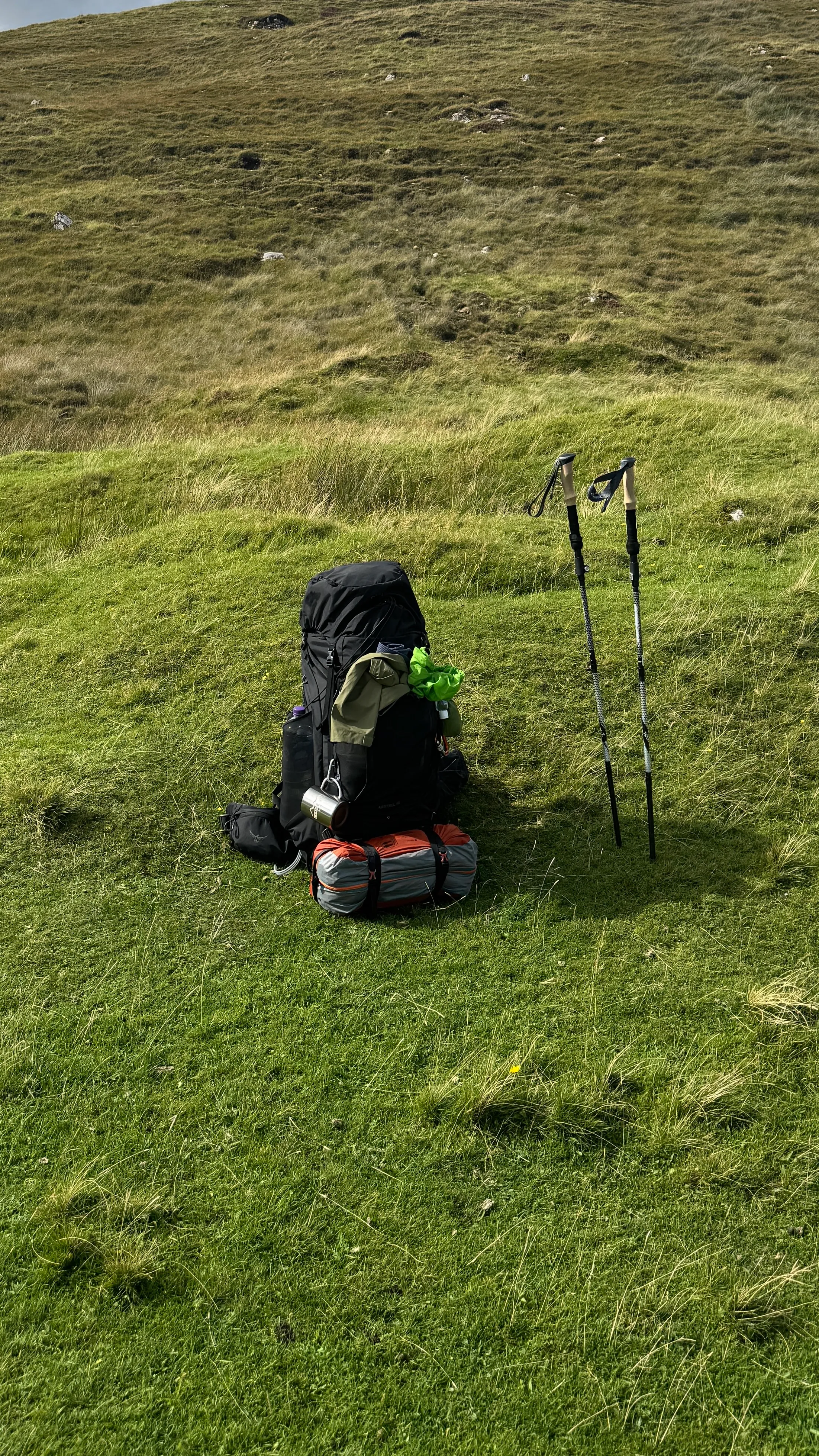
Towards the Coast
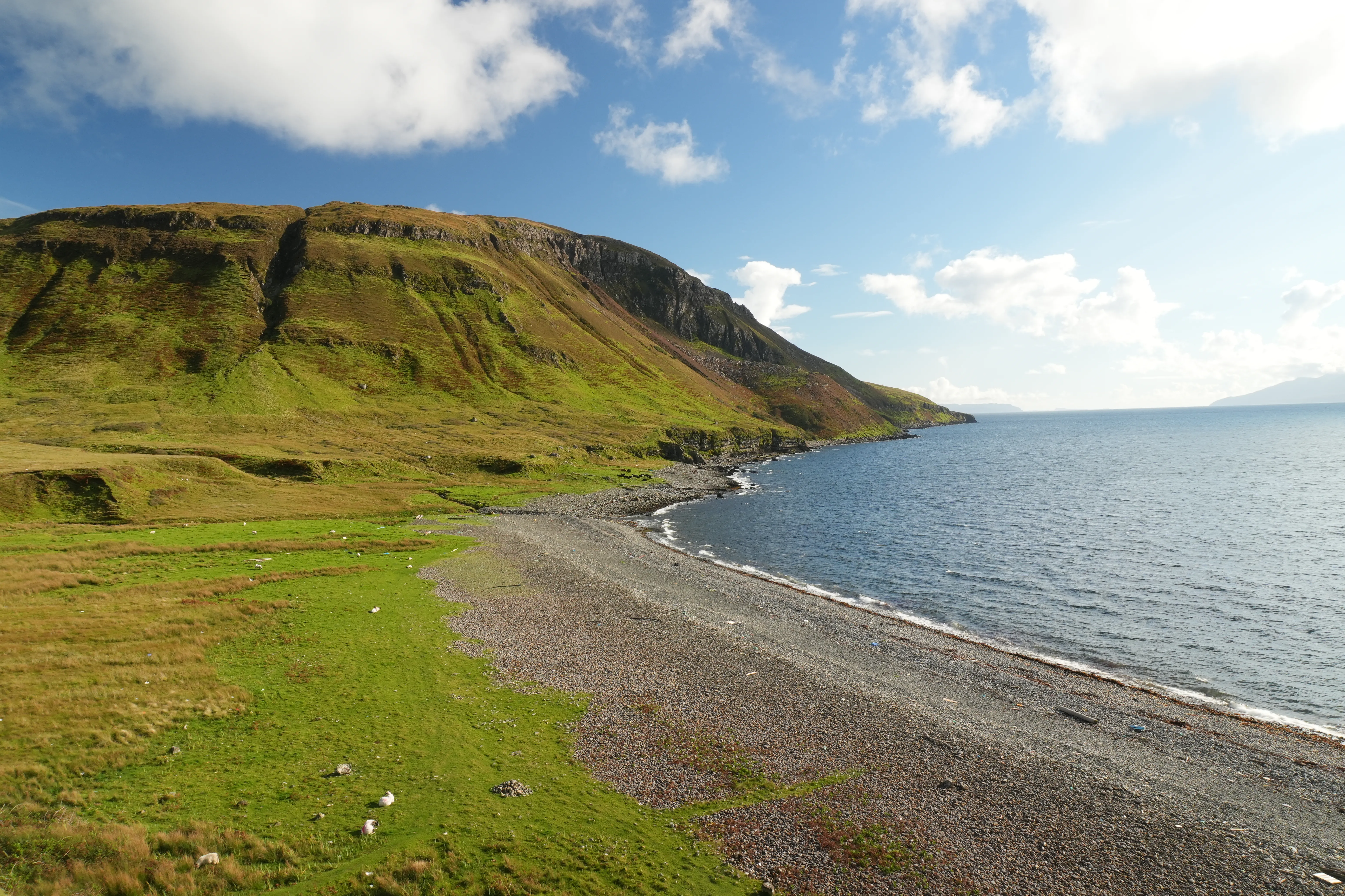
The rugged, windswept coastline carves a path through ancient stone beaches and vast grasslands, opening up to the endless expanse of the Atlantic Ocean.
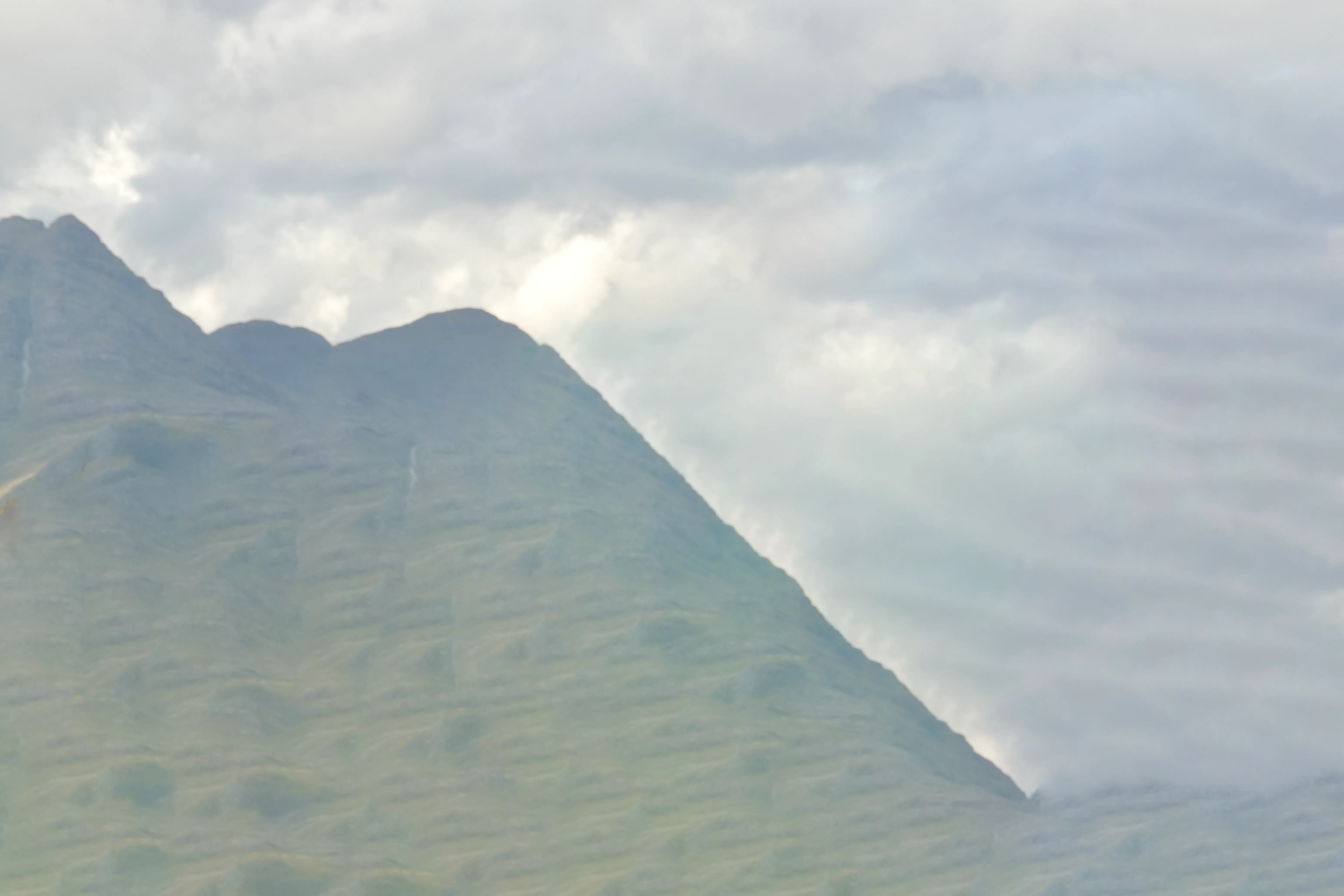
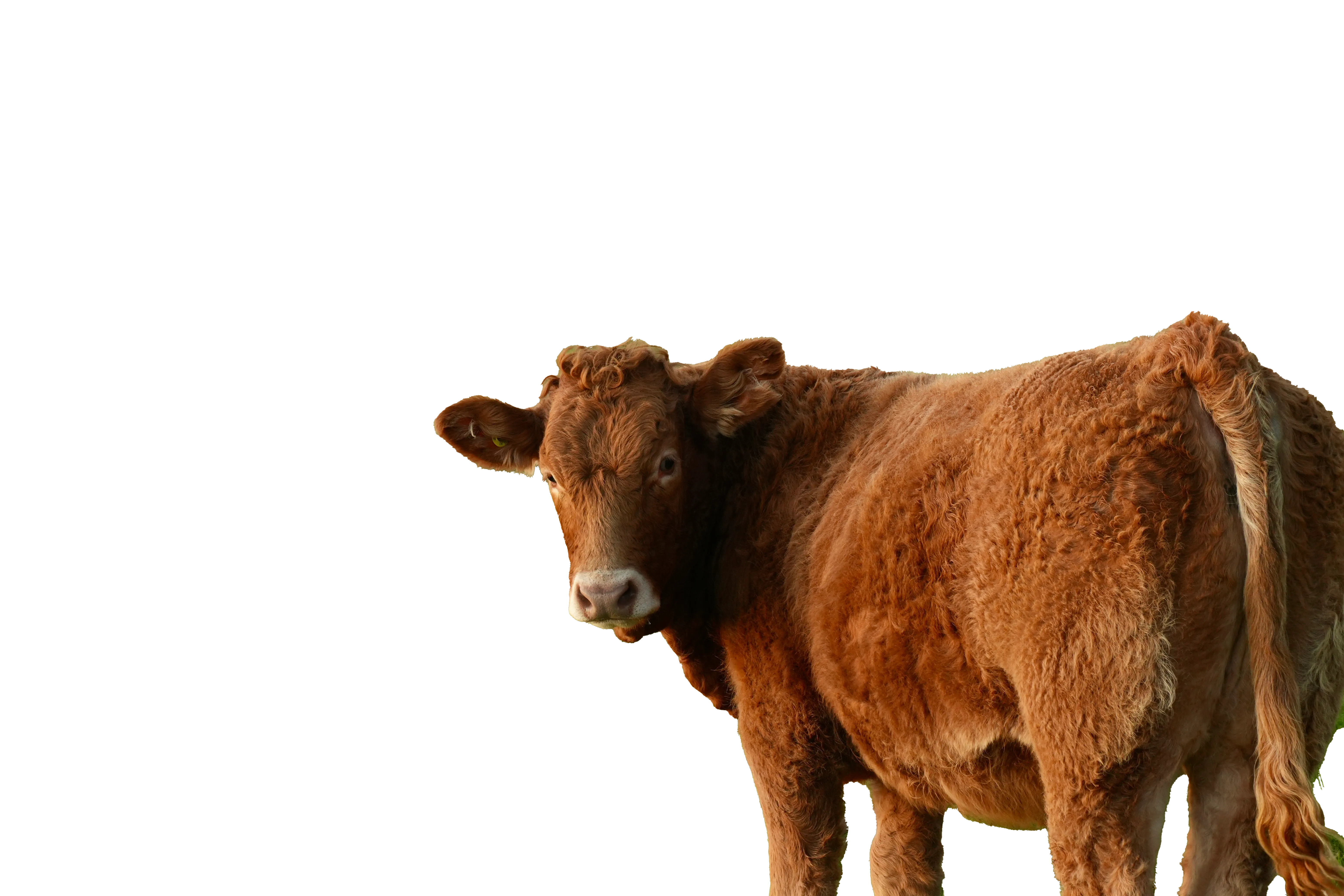
Elgol
Through the lake pass. At arrival, good soup.
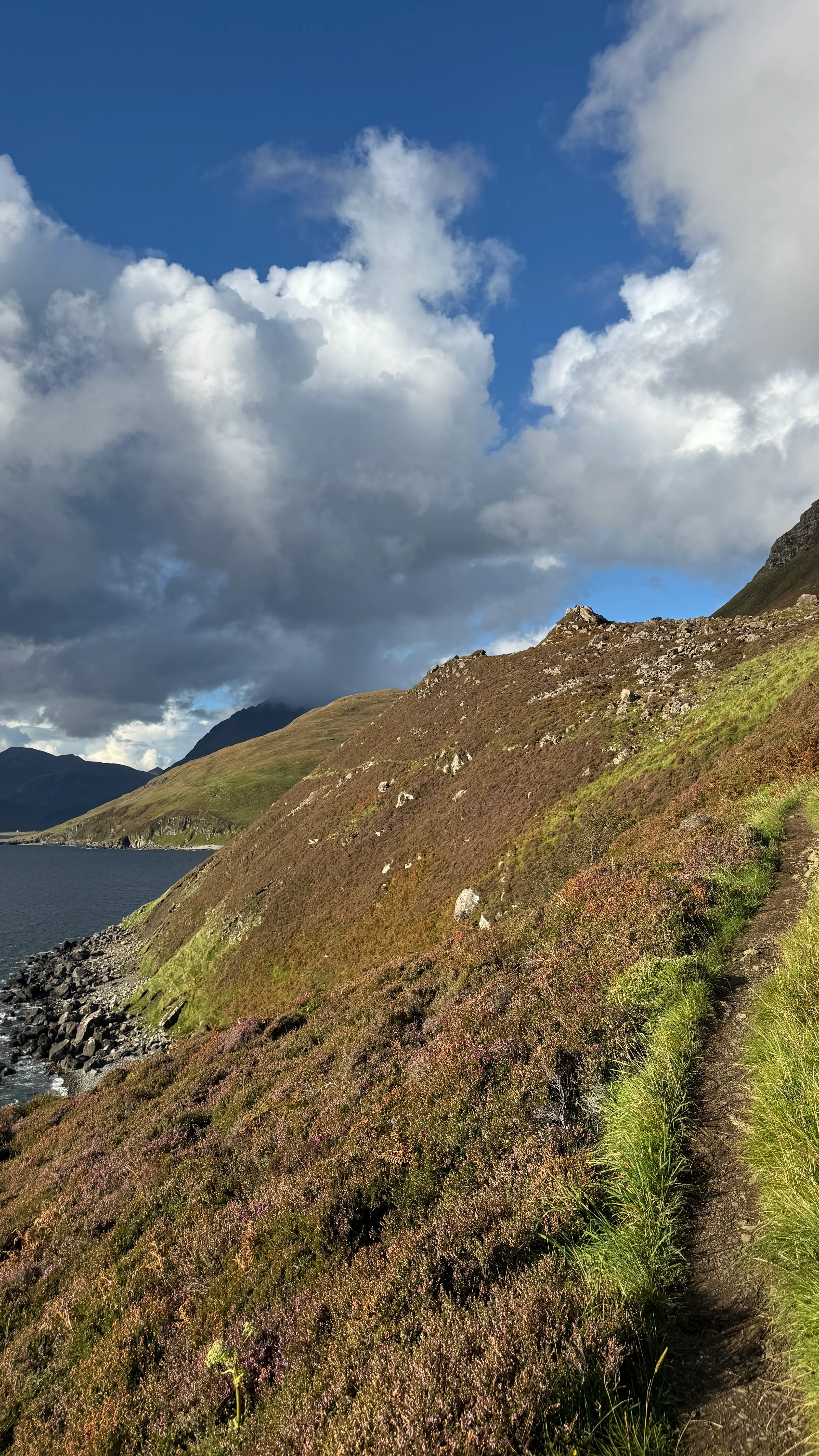
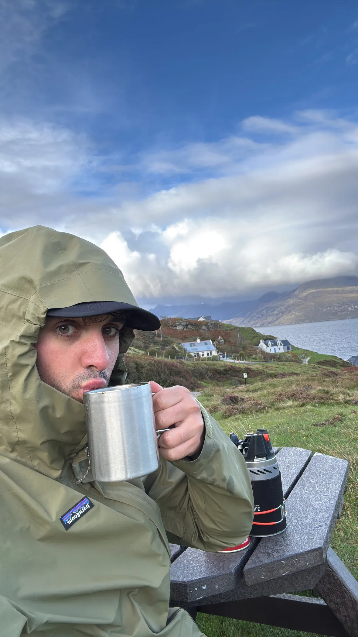
Torrin
Dinner time, and whatever I was talking about there.
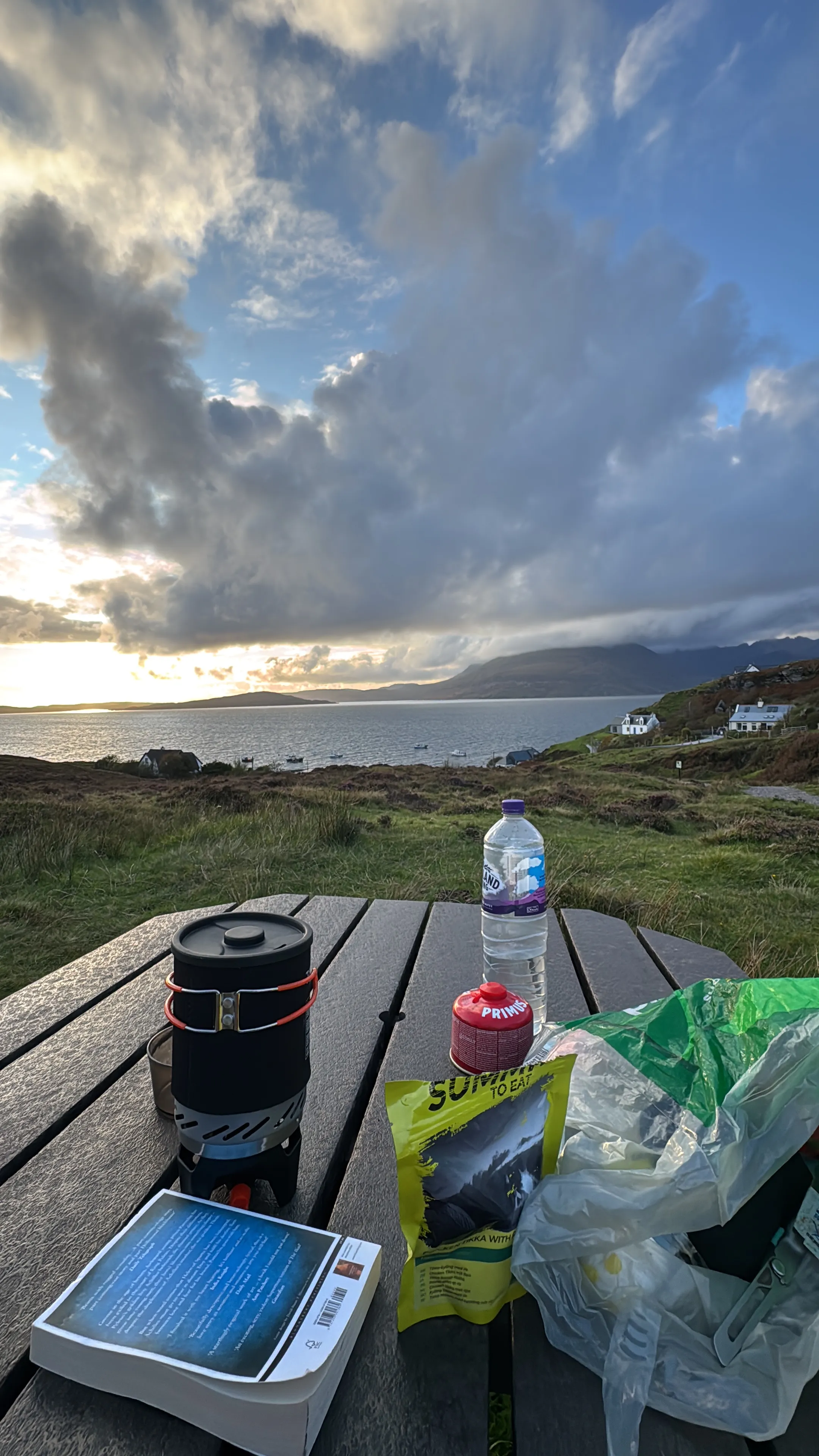
Broadford
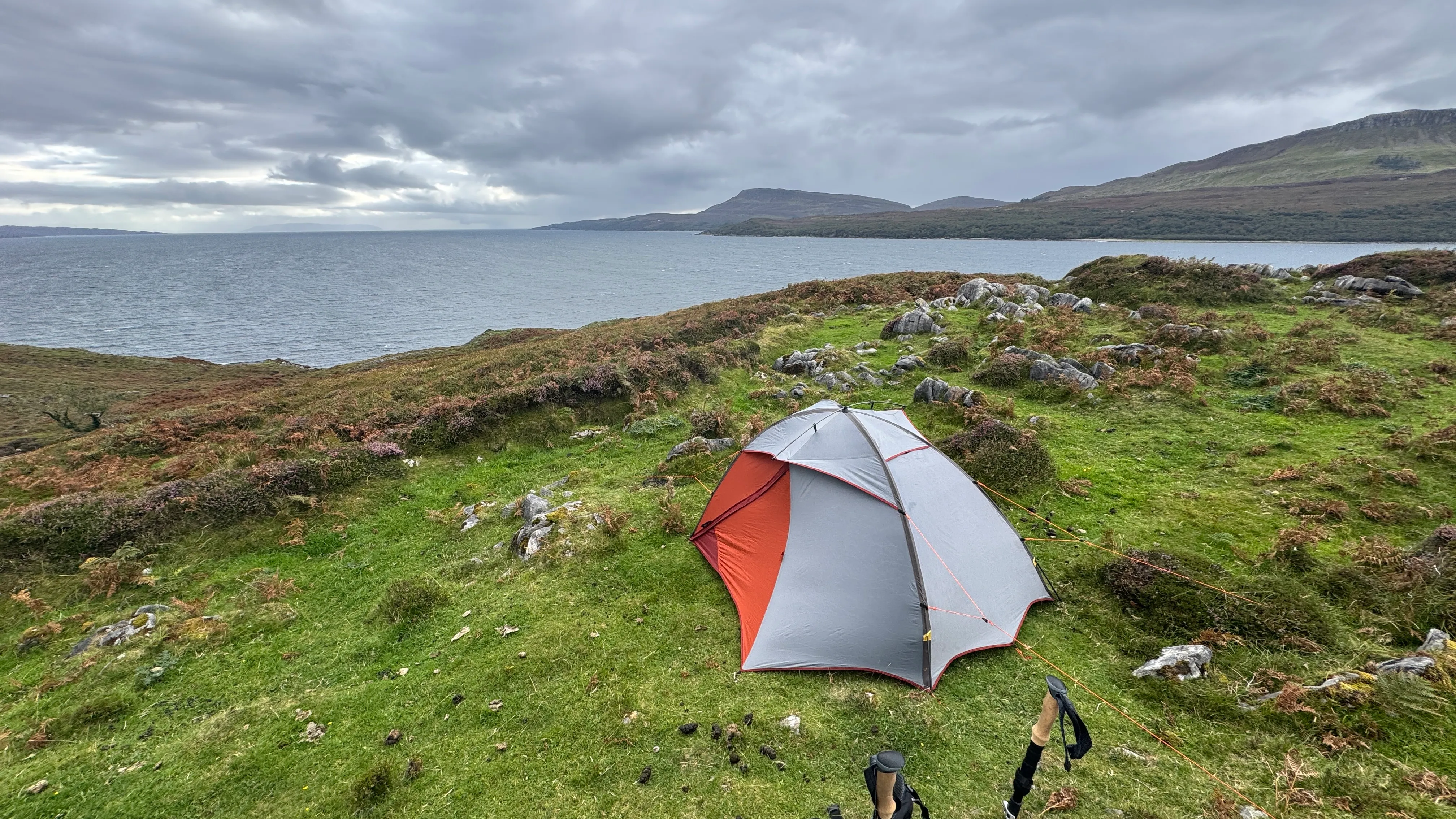
Every grueling climb, every sudden storm, and every mile of unpredictable terrain led to this exact moment. Finishing the Skye Trail isn’t just about reaching the end of a map; it’s about conquering one of Scotland’s most brutal, beautiful landscapes, one step at a time
The end of the trail